
North Dakota Gets a Double Dose of Snow Before February Warm-Up
Here we go again! Winter isn’t quite done with us in North Dakota, but at least it’s keeping things interesting.
A pair of Alberta clipper systems will be sliding through the area, bringing two rounds of light snow to the Peace Garden State, and a reminder that January still has a few tricks up its sleeve. These fast-moving systems won’t shut everything down, but they will freshen things up just enough to keep plow crews busy and us commuters on our toes.


Two Rounds of Snow, One Midweek Mess
The first round of snow is expected to begin Tuesday morning, continuing on and off through Tuesday evening. Think of it as winter’s opening act. Not overwhelming, but noticeable enough that you’ll want to allow a little extra time getting where you’re going. Roads may turn slick at times, especially during the morning and evening commute hours.
After a brief break late Tuesday night, round two arrives Wednesday morning, lingering into the Wednesday afternoon hours. This second wave could add just enough snow to cover what the first round left behind, giving us that familiar “Didn’t we just shovel?” feeling.
All told, 1 to 3 inches of snow is expected between Tuesday and Wednesday, though locally higher totals are possible depending on how these clippers track. This isn’t a blockbuster snowstorm, but it’s more than enough to make driving conditions variable, especially in open areas where visibility can be reduced.
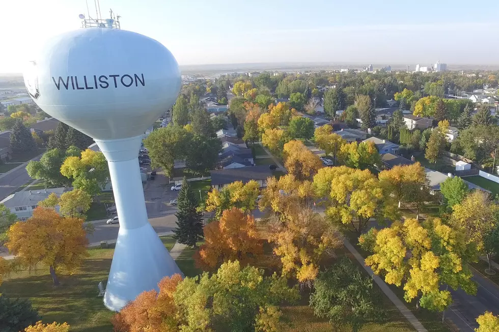
Read More: Local Legends and Hidden Gems: Williston, North Dakota’s Must-Try Restaurants

The good news? There’s light at the end of the snow drift. Temperatures are expected to rebound as we head into February, giving us something to look forward to once these clippers move on.
Until then, drive safe, stay warm, and remember, winter in this part of the world always likes to get the last word.
LOOK: The most extreme temperatures in the history of every state
Gallery Credit: Anuradha Varanasi
KEEP READING: Get answers to 51 of the most frequently asked weather questions...
More From KEYZ AM 660